
Publicité

Geography and development

From the earliest days of its history, Mauritius was of strategic importance to the naval powers of that period because of its geographical situation on the trade routes between Europe and the East. At first, settlement was attempted in order to provide a convenient stopping-place for ships of the Dutch .
East India Company on their way to and from the ?Spice Islands,? as they were then known. Cyclones and the irritations of mosquitoes ? consequences of being situated in the tropical zone ? were factors, which brought to an end the original Dutch presence in the island. Its topography, on the other hand, presented a distinct advantage ? the presence of wide bays suitable for harbours for large ships, a great convenience for the French and English fleets.
With its fertile soils of volcanic origin, Mauritius? agricultural potential was quickly recognized, and sugar cane has been its main crop ever since. The South East Trade winds keep the island well-watered. The very rocky nature of the soil does however cause problems and de-rocking has gone on over the years. These basaltic rocks are now processed into building materials.
The coral reef around Mauritius protects its shoreline in rough weather and the white beaches of coral sand together with the calm waters of the lagoon are its main tourist attraction. The great distance of the island from the main centers which at the outset caused people to wonder if a tourist industry could ever get off the ground here is no longer a problem nowadays with the availability of long-haul flights and cheaper fares.
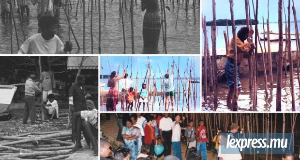
The terrain of the island (a gently sloping central plateau with a few mountain peaks, surrounded by a coastal plain) presents no particular difficulties and communications are easy with roads linking all regions. Fishing has traditionally been practiced and the fishing villages along much of the coast are a typical part of island life. On a more ambitious scale the country aims to become a ?seafood hub?, a center for developing the marine resources of the Indian Ocean region.
The smallness of the island coupled with the lack of any raw materials such as oil or minerals in the soil meant that any modern industrial development had to be based on the availability of cheap labour. The local textile industry relies totally on imported raw materials, and the great distance of Mauritius from both their sources and the eventual markets for the finished goods implies constraints concerning the ever-increasing cost of freight as well as a certain difficulty in delivering goods on time.
The decline of the textile industry recently has led the country to put more emphasis on the business sector and it is interesting to note that the geographical position of Mauritius is in its favour. In the morning, Asian markets are ahead of us whereas in the afternoon, European markets are three or four hours behind. By working into the evening it?s even possible to access US markets as people there tend to start work early in the morning. Mauritius therefore can be seen as ideally situated for ?catching? the world?s various business centres in a working day.
While it is true that the rapidity of modern communications has made the world a smaller place, the country still faces certain harsh realities concerning its future development potential. Geography is not everything, but it certainly plays a part?
Publicité
Publicité
Les plus récents